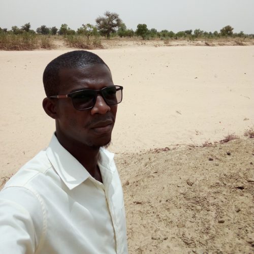
Nationality: Nigerian
University: Institut Polytechnique Rural de Formation et de Recherche Appliquée (IPR/IFRA)
Research Area: The mobilization of surface water for agriculture.
Research Topic: Detailed preliminary design studies for runoff spreading threshold in the Wouya Dogon community of Guidan Sori, Guidan – Roumdji Department, Maradi Region.
Which activities have you participated in as part of the RARSUS project?
As part of the RARSUS project we participated in several field studies to gather information from our internship. Since the study is being carried out on a shared watercourse between Niger and Nigeria, we are going to continue the rest of the work in the office by delineating the watershed with Google Earth and global software map, in order to determine the flood rate and the area that will be applied to allow agricultural practices in the study area.
What is your role in the project? And what results are you responsible for?
Our role in the project is to conduct well structured research that will contribute to the PAUWES research program to develop and implement scientific results.
Tell us about the research you are going to conduct:
The phenomenon of water and wind erosion has experienced a spectacular development particularly at the level of the Maradi Goulbi and its tributaries, which are very much in demand by the populations because of their high productive potential, resulting in the silting up of the plans and rivers. Thus leading to the reduction of cropland.
This phenomenon is mainly manifested by:
- The digging of erosion claws on more or less resistant ground;
- The formation of ravines and ravines often deep on sandy ground below slopes;
- The stripping of the surfaces by a displacement in water table leading thus losses of agricultural land, the runoff of the grains of sand and the fine particles;
- The widening of the koris beds to the detriment of the banks which are generally cultivated areas and therefore, suddenly carried away;
- The silting up of rivers and lakes, the destruction of cropland and socio-economic infrastructure.
This situation has the consequence of reducing the flows of these rivers, the drop in the water table, the fall in agricultural and fishery production, the loss of forest biodiversity and finally the migration of the populations of the area.
The reversal of this trend of environmental degradation and reduction of the food deficit can be obtained by:
- The protection of land with high agricultural potential;
- The construction of works likely to improve soil fertility and groundwater recharge.
Therefore, it is important to undertake urgent and integrated priority actions to expand the productive base to ensure a good level of production and stable incomes for rural producers.
It is with this in mind that we conduct research for the construction of protection and flow control structures for the preservation of land and water potential in the Goulbi area.
What are the personal achievements you have had so far?
We had enormous results compared to the hydrological aspect of Goulbi, for example:
- The spread rate of the structure;
- The area that will be flooded by the spreading;
- The calibration dimension on the work.
The RARSUS project for me is…
A project that not only helps to supervise students in the field of scientific research, but also and especially to develop their research and innovation capacity. This is a great opportunity to work with experts in many fields by learning a lot of research methods that will allow me to have some experience in the world of research.
